Introducing Flood Form
an NYC flood exposure map
Plug your address into the map to learn about your property’s exposure to the four main types of flooding: groundwater flooding, stormwater flooding, coastal flooding, and sewer backup.
If you would like help interpreting your results, or would like to connect with us about developing a flood mitigation strategy for your property, click below to answer a few questions and someone from our team will be in touch.
Support our research by answering a couple quick questions about your property
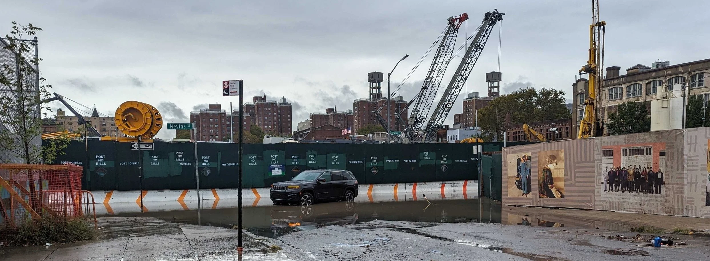
Our Hypothesis
Proximity to a historic stream, pond, or wetland is an indicator that a property may be prone to flooding issues – particularly from groundwater and stormwater.
Our Project
We are collaborating with neighbors and organizations in the Gowanus watershed to explore this hypothesis and learn more about the relationship between our local, natural history and flood exposure for specific properties.

Terms of Use
All copyright, trade marks, and all other intellectual property rights on this website and its content (including without limitation the Website design, text, graphics, software and source codes) are owned by or licensed to Field Form Inc. or otherwise used by Field Form Inc. as permitted by law. All uses of the contents of this website, other than personal uses, are prohibited.
© Field Form 2024 Not to be redistributed